
| Schwierigkeit |
schwer
|
|
Aufstieg
|
12488 hm |
|
Abstieg
|
12477 hm |
| Tiefster Punkt | 201 m |
| Höchster Punkt | 1607 m |
|
Dauer
|
174:30 h |
|
Strecke
|
608,3 km |
CLAUDIA AUGUSTA WALK

Quelle: Regione del Veneto, Autor: Regione Veneto CS
Die Tour
The Via Claudia Augusta, the ancient Roman road that joined the Danube with the Adriatic lowlands, has now come back to life, after 2000 years of history, thanks to the numerous tourists who travel on foot or by bicycle. This historical walk has become a bridge that unites environments and cultures of three countries: Italy, Austria and Germany. The southward path splits into two branches at Trento: one descends toward the Po up to Ostiglia, crossing the Adige valley and the other, passing through Valsugana and Feltre, winds its way toward the Adriatic Sea up to Altino, ancient harbour on the edge of the Venice lagoon.
Autorentipp
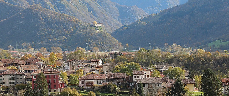
On the Via Claudia Augusta in Valbelluna Crossing the plateau of Lamon where the most prized bean in Italy is cultivated, Pedavena with its large brewery, Feltre city of art, Cesiomaggiore and the important ethnographic museum of the Dolomites, you arrive at Mel, one of the most beautiful villages in Italy.
Info
Karte
Details
|
Kondition
|
Beste Jahreszeit
Januar
Februar
März
April
Mai
Juni
Juli
August
September
Oktober
November
Dezember
Weiter stöbern
Weitere Informationen
Sicherheitshinweise
Lunghezza: 600 Km Durata: 29 tappe